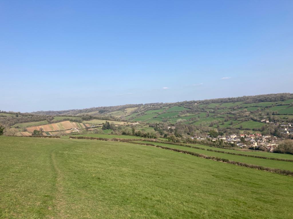
A circular walk climbing to an atmospheric ex-airfield, then offering stunning ever changing views as you descend before a second climb to the top of the scheduled ancient monument of Little Solsbury Hill.
You can watch two Cotswold Voluntary Wardens enjoying this walk on a lovely winter’s day in this short video:
Download the pdf for the full description and map
Start & Finish: Upper Swainswick *W3W – files.grant.goats
Distance: 4.75 mile / 7.6 km with an up and down of 994 ft / 302m
Slopes: Two ascents and descents.
Steps & stiles: One stile
Terrain: Unpaved paths and minor roads.
Transport: Difficult to access by public transport. Visit travelinesw.com. Bus to Catherine Way bus stop in Northend, Batheaston. 350m from route at Northend (start at point 4 on the map). Free parking available in layby under A46 at Upper Swainswick.
Public toilets: No public toilets on route but public toilets in Batheaston (20p) a short detour from Northend.
Refreshments: None on the route, take a picnic! Though shops and cafes of Batheaston are a short detour away.
Rest points: Plenty of points for an informal stop, no benches.
Dogs welcome: Yes, though livestock in some fields so please be prepared to put them on a lead.
Wheel friendly: No
Features on the route: Charmy Down Airfield Memorial, Little Solsbury Hill Iron Age Hill Fort, Views of Bath and St. Catherine’s Valley