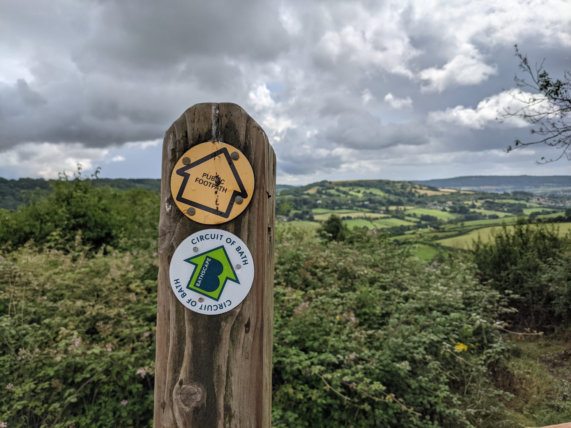
Enjoy 20.5 miles of walking around the Bathscape. This walk offers stunning views, history, heritage, countryside and city, including Little Solsbury Hill. A beautiful walk in any season as it takes in river, canal, meadows, woodland and peaceful valleys. Check our Events page to see if there are guided walks of the route coming up.
 It can be walked and is waymarked in both directions, but the climbs are slightly easier going clockwise. There are several pubs and cafes along the route. We’ve divided the walk into four sections each suitable for a day’s walk, outlined below.
You can start and finish in several places including Lansdown, Newbridge and Odd Down Park and Rides, Bathampton or the Brassknocker Basin car park at the canal centre (parking charges apply).
The route is based on the Julian House sponsored walk, and this local charity has been checking and refining it every year since 2001.
For the challenge of walking it in one day, why not join the annual September Julian House sponsored walk (booking required), when support and transport between checkpoints is available, and you can fundraise for a great cause. If you’re giving it a go outside September, please consider donating anyway to help the work they do supporting vulnerable people.
The four sections
We’ve divided the walk into four sections – see the route maps and descriptions. Walking it in sections is also great training for the sponsored walk!
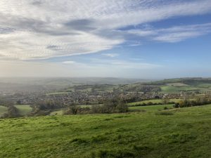
Walk 1 Lansdown to Batheaston This leg starts with a panorama of the city before heading north for breath-taking views across the Swainswick Valley to iconic Little Solsbury Hill, which you later ascend, before finishing in the river-side village of Batheaston. Five miles with some good up and downs!
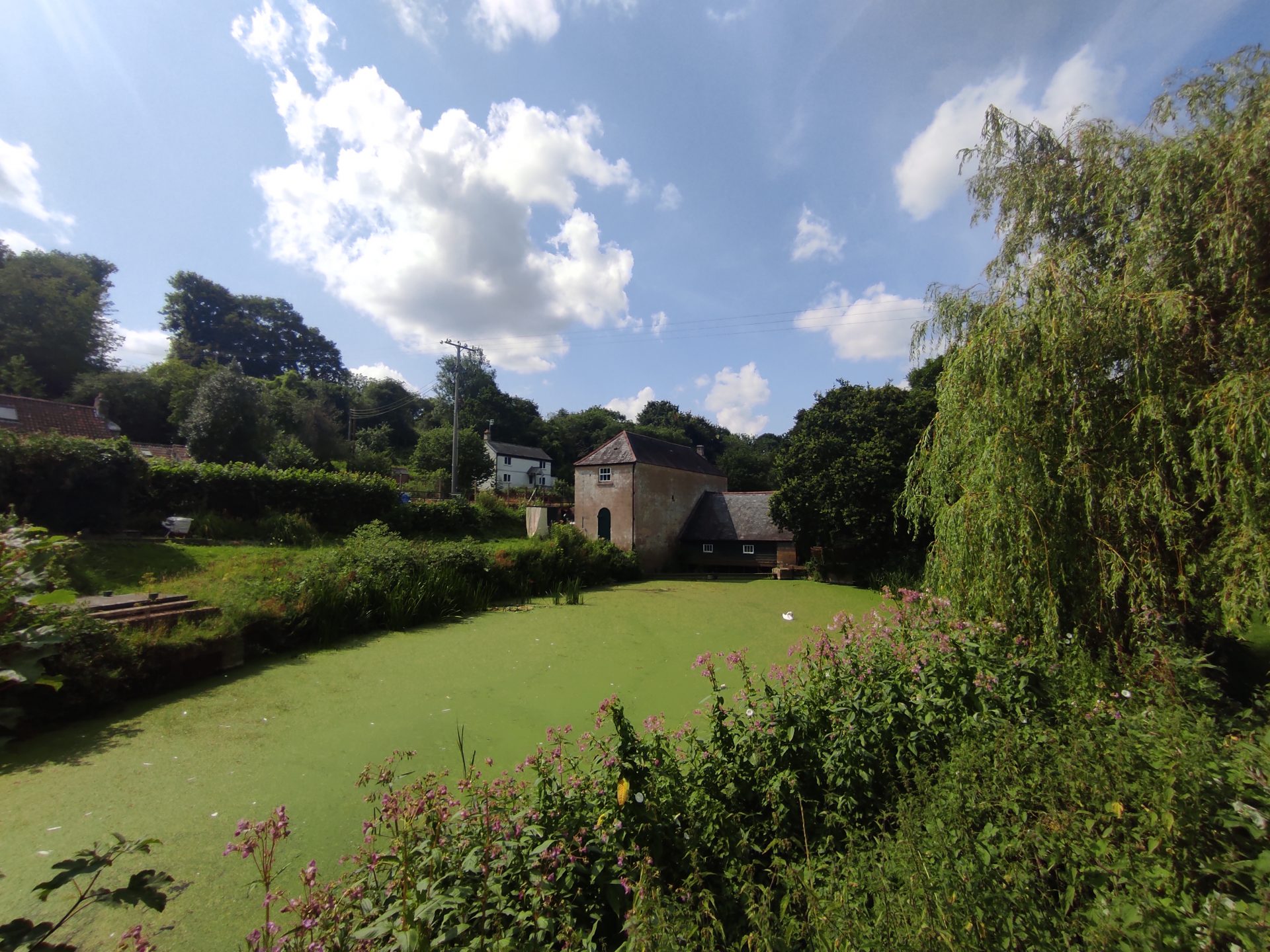
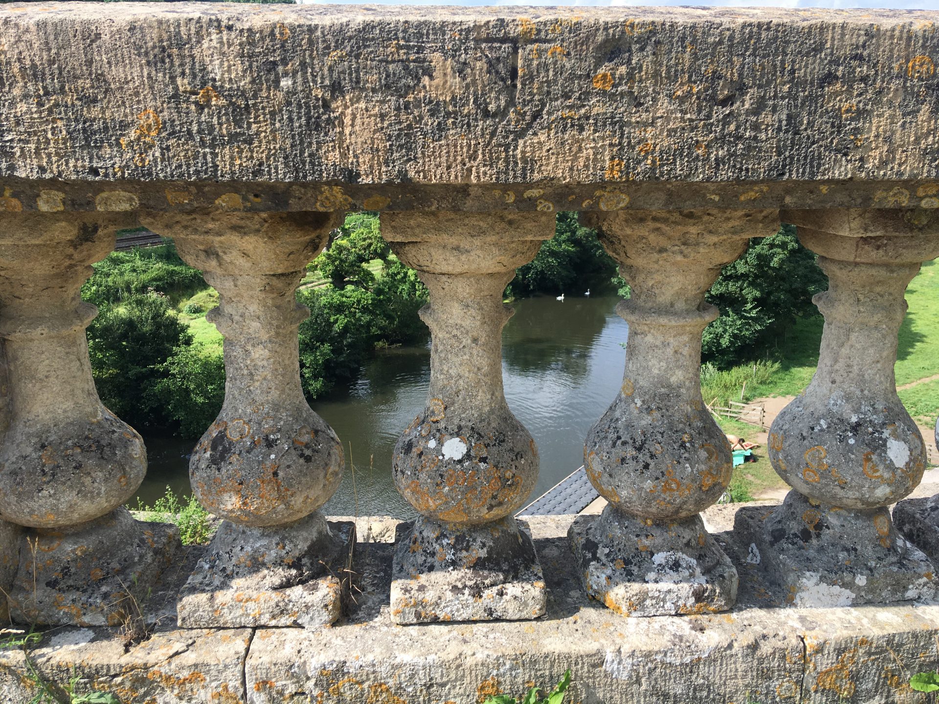
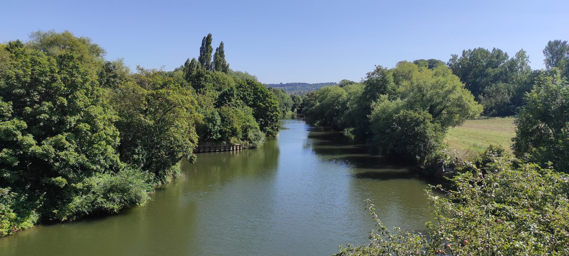
Walk 2 Batheaston to Brassknocker Basin Follow the picturesque Kennet & Avon Canal down to the Scheduled Ancient Monument of Dundas Aqueduct which carries the canal over the River Avon. This is the shortest and the only flat walk.
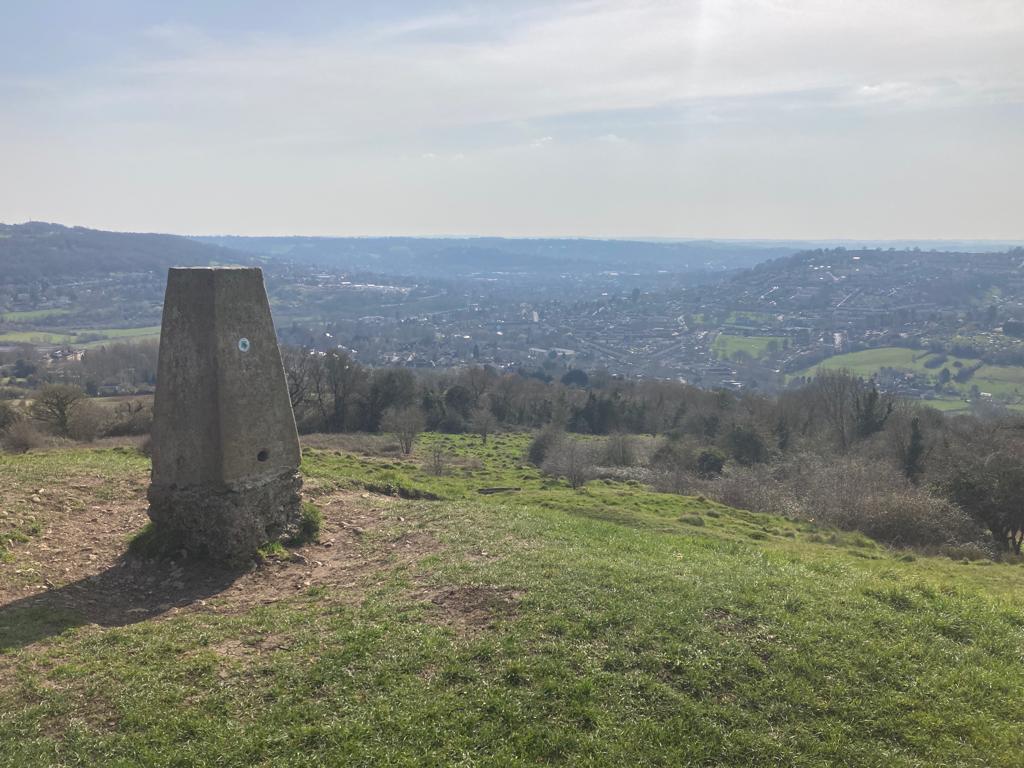
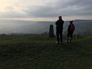
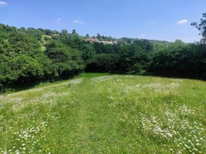
Walk 3 Brassknocker Basin to Odd Down Starting gently this leg first follows the Midford Brook, and then the disused Somersetshire Coal Canal passing the site of the historic Combe Hay Locks. It then climbs up to rewarding views from the Millennium view point over the Southern Bathscape. Five miles with some flat sections.
 Walk 4 Odd Down to Lansdown This is the longest section, however it can easily be split into two by stopping at Newbridge. To Newbridge the route meanders through farmland and woodland before passing through the picture perfect village of Englishcombe. From Newbridge, after a short climb through Newbridge Slopes nature reserve and into Weston it then ascends towards the famous landmark of Beckford’s Tower offering stunning views all the way up. The full length is eight miles, and overall you’ll climb over 1000ft/300m, but it’s always worth it for the view.
Once you’ve walked it, please consider leaving a review on Trip Advisor
Public transport
This route is easily accessible by public transport. It goes very close to the three Park & Rides and buses run frequently from the centre of Bath, a short walk from the train station. There is also a bus stop near the Canal Visitor Centre/Brassknocker Basin Car Park and buses to Batheaston which are other recommended starting points.
Getting there
If you are not using public transport you can drive to one of the points along the route where parking is available. If you are driving from Bristol or the west the best place to start is Newbridge Park & Ride. If you are coming from the North the best option may be Lansdown Park & Ride (Charges now apply at Park & Rides – please check boards). In the south west you can go to Odd Down Park & Ride and in the south east you can head to the Brassknocker Basin car park (charges apply).
Safety information
Remember to pack plenty of water and snacks if you are tackling this route in one go.
Some of the fields do have livestock in them so if you are walking with a dog please put them on a lead whenever you see grazing animals. There are some sections along country roads and lanes. Please be careful and make sure you walk in single file and on the right so motorists can see you clearly.
Physical map
If you would like to buy a map with the Circuit of Bath path marked on it, with Bath in the centre – please visit the Cotswold Way Association shop.
Photos by Maria Jesu Dass and Nicole Daw