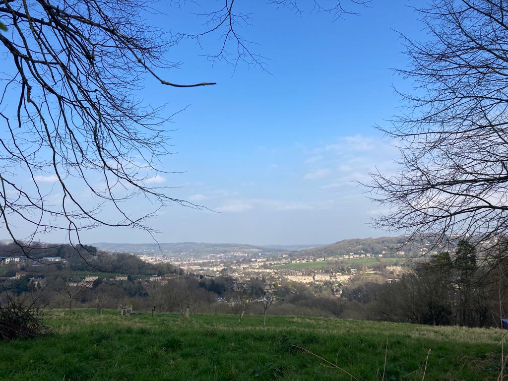
A circular route taking in parks, one of the famous ‘two tunnels’ and incredible views over Bath.
Download the pdf for the full description and map.
Please note – in January 2024 the Tunnel experienced some flooding and had to close – please check Sustrans to see if it’s re-opened – sustrans.org.uk/find-a-route-on-the-national-cycle-network/bath-two-tunnels-circuit
You can see this walk for yourself in this short video
Start & Finish: Springfield Park at Meare Road *W3W – played.puts.broad
Distance: 2.1 miles / 3.5 km with an up and down of 515 ft / 157 m
Slopes: Starts with a steady descent and ends with a steep climb, smaller undulations along the route.
Steps & stiles: One set of shallow steps down and one set of steep steps up (can be extended by lengthening the walk slightly). No stiles
Terrain: Paved and unpaved paths, pavement.
Transport: Visit travelinesw.com. Meare Road bus stop (on Queens Drive) 150m from start. Free parking available on residential streets off Meare Road. Please park respectfully.
Public toilets: No public toilets
Refreshments: Devonshire Arms
Rest points: Benches in Springfield Park and Bloomfield Road Open Space
Dogs welcome: Yes
Wheel friendly: No
Features on the route: Two playgrounds – Springfield Park & Bloomfield Road Open Space, Shorter tunnel of Sustrans ‘Two tunnels’ route.