A short, sharp route to get the heart pumping. Worth it for the brilliant views from Primrose Hill.
Download the pdf for the full description and map
Start & Finish: Outside Weston Public Library *W3W – extra.brick.path
Distance: 1.1 mile / 1.8km with an up and down of 308 ft / 94m
Slopes: Very steep up and down.
Steps & stiles: One set of steps into All Saints Churchyard (can be avoided by circumnavigating the churchyard using the pavement along the road).
Terrain: Mix of paved and unpaved paths.
Transport: Visit travelinesw.com for bus information to and from Weston High Street. Limited time street parking available in Weston. Free parking on nearby residential streets, near The Weal
(BA1 7EX). If parking here pick up the route from point 3.
Public toilets: None available
Refreshments: Cafes, a bakery and small supermarket in Weston village.
Rest points: One bench near the top of the climb and two more within Primrose Hill Community Woodland.
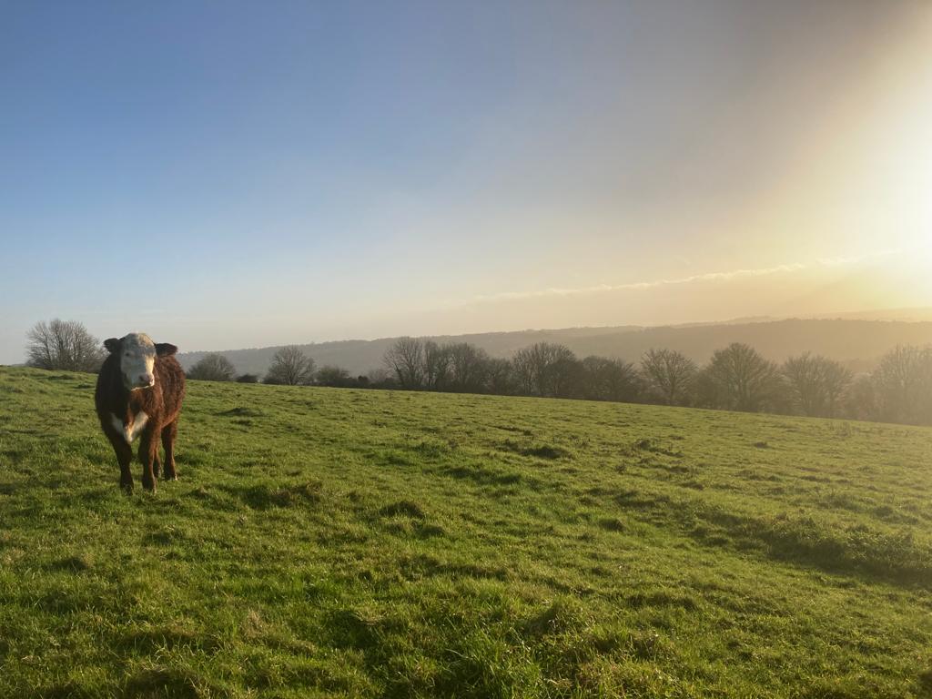
Dogs welcome: Yes, but cattle (in calf) often in fields so please keep them on leads.
Wheel friendly: No